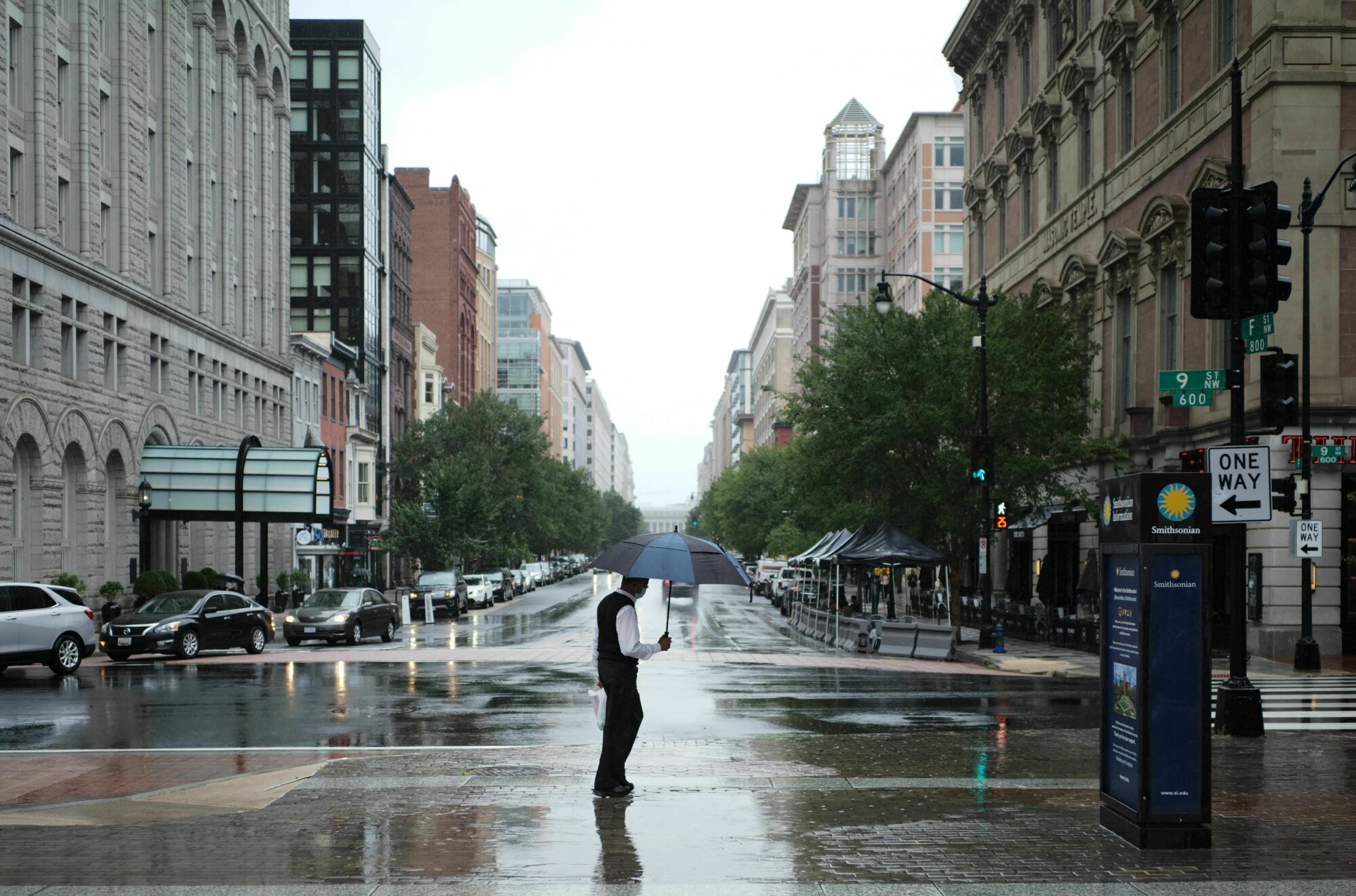
Heavy rain will bring a flash flood risk in the D.C. region to kick off the fall season, with the potential for totals up to half a foot from storms forecast throughout Wednesday and Thursday.
A Flash Flood Watch is in effect for Maryland and Virginia’s higher elevations near and west of the Blue Ridge, including Frederick and Hagerstown in Maryland, through 8 a.m. Thursday. Downpours could dump between 3 and 5 inches of rain there, with isolated amounts of between 6 and 8 inches in the mountains.
But Storm Team4 meteorologist Chuck Bell expects the flood threat will shift closer to D.C. and Baltimore Wednesday night, when a plume of moisture ahead of a cold front will combine with a tropical air mass from former Hurricane Nicholas.
“That tropical connection means that the threat of heavy rain and flooding is quite high as this storm passes through our area,” Bell said. “The main take-away is that you should be prepared for periods of rain today and then a burst of heavy rain later tonight and into the first half of Thursday.”
Morning commuters, Bell said, should especially take note of a chance for high-standing or moving water on vulnerable roadways: “The most dangerous time will be first thing Thursday morning with heavy rain falling before sunrise.”
Scattered showers were already moving through the western and southern fringes of the region early Wednesday — activity only expected to become more widespread as the day goes on. Strong thunderstorms could be thrown into the mix, too, later Wednesday.
“Already seeing some impressive rainfall amounts to our south, so expect to see an uptick in rainfall as we get further into this morning,” the National Weather Service said in its Wednesday forecast discussion.
“This activity will move toward the north through the early afternoon, before leaving a brief ‘lull’ in its wake,” it added, noting that the pause in activity isn’t likely to last long before thunderstorm activity ramps up with the oncoming cold front.
Lines of afternoon storms on Wednesday and Thursday could become severe, bringing damaging winds and the potential for a brief tornado on top of torrential downpours. The severe weather threat will be highest in northern and eastern Maryland.
Parts of Anne Arundel County, St. Mary’s County and D.C. could see minor coastal flooding around high tide Wednesday evening, the weather service said, with up to 1 foot of water in low-lying areas along the shore.
Fall officially arrives at 3:21 p.m. Wednesday with the autumnal equinox. The equinox is one of two days out of the year when Earth experiences 12 hours of daylight and 12 hours of darkness.
Forecast:
Wednesday: Cloudy, breezy and mild. Periods of rain and thunderstorms. Highs in the upper 70s to near 80.
Wednesday night: Showers, becoming heavier overnight. Lows in the mid- to upper 60s.
Thursday: Cool, breezy and wet. Heaviest rain in the morning, with showers ending around sunset. Highs in the upper 60s to mid 70s.
Friday: Sunny, with a fresh breeze and lower humidity. Highs in the mid- to upper 70s.
Saturday: Mostly sunny. Highs in the low to mid 70s.
Current conditions:
Like WTOP on Facebook and follow @WTOP on Twitter to engage in conversation about this article and others.
Get breaking news and daily headlines delivered to your email inbox by signing up here.
© 2021 WTOP. All Rights Reserved. This website is not intended for users located within the European Economic Area.
"Flash" - Google News
September 22, 2021 at 06:00PM
https://ift.tt/2W2Kt9H
As fall arrives, flash flooding possible around DC region - WTOP
"Flash" - Google News
https://ift.tt/39L7UpV
Shoes Man Tutorial
Pos News Update
Meme Update
Korean Entertainment News
Japan News Update
Bagikan Berita Ini


0 Response to "As fall arrives, flash flooding possible around DC region - WTOP"
Post a Comment